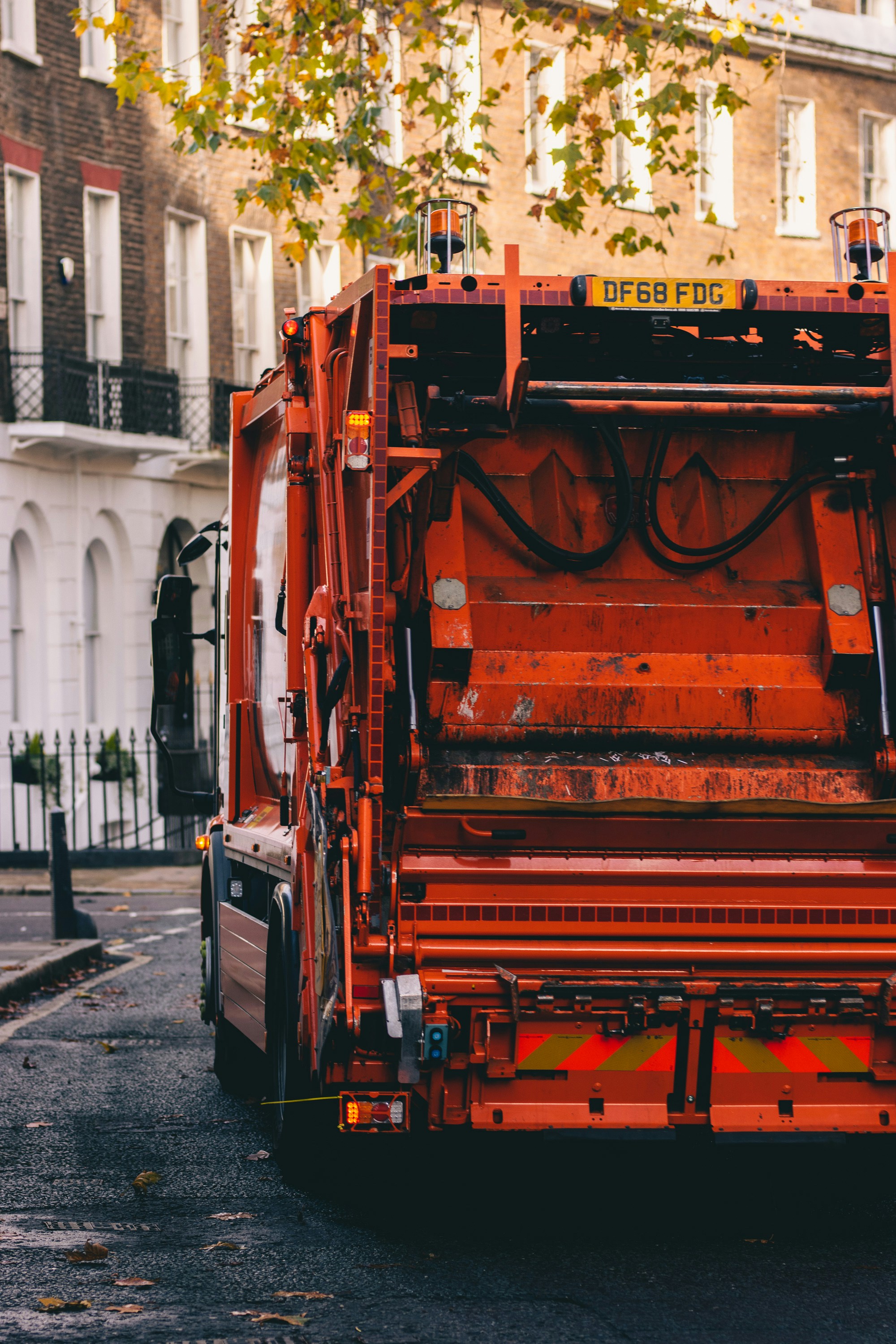
A major new project has launched in Mid-Wales to identify areas with poor 4G mobile broadband coverage. The programme from Growing Mid Wales is aiming to find mobile ‘not-spots’ by installing ‘advanced data-capturing devices’ on waste collection vehicles to measure 4G mobile coverage and network capacity as they move through Powys and Ceredigion.
This idea to map mobile coverage across the region using waste refuse trucks is highly cost-effective, negating the need for logistical costs and hiring of specialist teams and vehicles to achieve the same outcome. The waste collection vehicles go about their regular routes, all the while collecting 4G mobile coverage data.
Growing Mid Wales is part of the Mid Wales Growth Digital Programme. This is a long term investment from the Mid Wales Growth Deal with a combined commitment of £110 million from the UK and Welsh Governments.
4G Mobile Data Collected from 4 Major Networks
Specially equipped waste collection vehicles will collect 4G mobile broadband data from the 4 major Mobile Network Operators in Wales and the rest of the UK – EE, O2, Three UK and Vodafone.
The data collected will then be used by Grow Mid Wales to develop projects and interventions to specifically target key areas where connectivity is more of a challenge. This in turn will help enhance digital infrastructure across the mid-Wales regions.
Free 4G Coverage Checker
Funded by the UK’s Shared Prosperity Fund from the UK Government and supported by the local authorities in Powys and Ceredigion, this project will also produce a coverage checker tool.
Growing Mid Wales is set to launch this free tool later this summer, which will enable people in the Mid Wales area to check mobile coverage and subsequently identify the best mobile provider for their needs. This will provide digital transparency to those in areas where connectivity is more of a challenge.
What do Growing Mid Wales have to say about the project?
“We are thrilled to launch this groundbreaking project in Mid Wales. Identifying and addressing ‘mobile not-spots’ and areas of poor network capacity is crucial for the region’s development.
This initiative aligns with GMW’s overarching goals, supporting decision-making for digital infrastructure deployments, regional economic development, and innovation. Having better information about coverage will increase our ability to work with commercial providers to address genuine not-spots and problem areas in coverage. In turn, this will help us pinpoint the areas where public intervention may be required to accelerate and/or enable deployment to ensure we have safe, reliable coverage across the region.”
Whilst rubbish trucks should visit the majority of locations in these areas, they can’t reach every single location. As with all projects like this, there are some limits, however it’s an interesting and intuitive idea and should produce some useful results when it comes to identifying those areas that are struggling with 4G connectivity.
Ingenuitive 4G coverage mapping
Here at Geekabit, it’s no surprise that we’re excited to see how this project turns out and what takeaways it can have for other rural and remote areas in the UK.
Will we start to see other similar projects popping up in other parts of the UK to map 4G coverage in hard to reach areas? We shall see!